- Home
- All Courses
- Spatial Analysis in ArcGIS
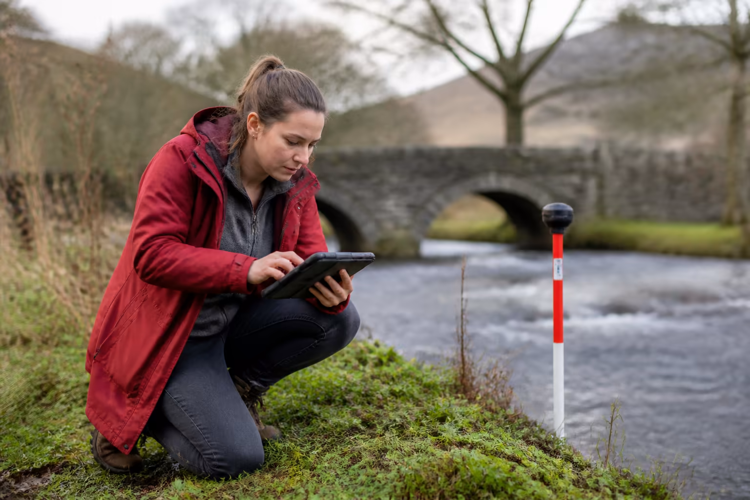
Spatial Analysis in ArcGIS
Gain confidence and progress your GIS expertise with this course on Spatial Analysis in ArcGIS. Develop practical spatial analysis skills aligned with sector best practices. Learn flexibly online, at your own pace, with content valued by UK employers for continuing professional development.
Exclusive Deal! 94% Off, Today Only!


This course includes:

The Spatial Analysis in ArcGIS course is a CPD-accredited, fully online programme tailored for UK learners ready to deepen their geospatial analysis skills. It offers a structured path to enhance your understanding of key spatial data techniques. This course supports your professional development with flexible, self-paced study.
As responsibilities grow in GIS roles, so does the need for sound spatial analysis knowledge and ethical decision-making. This course helps you apply practical GIS tools like raster reclassification and slope analysis to improve the quality and relevance of your work. It encourages professional judgement aligned with sector expectations.
Designed for professionals seeking recognised skills development, this course builds your credibility through applied knowledge in spatial data handling. Learners typically include GIS technicians and analysts aiming to improve precision and insight. Study online with comprehensive support to fit your schedule and learning needs.
Key Highlights
- Master core ArcGIS spatial analysis tools and techniques
- Flexible online learning with 12 months’ access to resources
- CPD-accredited to support UK professional development standards
- Practical modules covering raster, vector, 3D surfaces, and satellite imagery
- Includes real-world exercises to consolidate applied understanding
- Self-paced study designed for working professionals
- Access tutor support and detailed learning materials throughout
What You’ll Learn
- Develop advanced spatial analysis decision-making skills with ArcGIS
- Apply raster and vector data techniques to real-world scenarios
- Strengthen your confidence in interpreting topographic and hydrological data
- Understand ethical data handling and quality assurance in GIS projects
- Enhance leadership capability in managing geospatial information workflows
- Use satellite imagery and 3D surface analysis for applied problem-solving
- Improve your ability to select appropriate spatial tools for complex tasks
WHY STUDY WITH Learnera
Learn Era is a trusted CPD-accredited training provider dedicated to helping professionals build confidence, leadership, and compliance in the UK job sector. Our expert-led online courses are designed to fit around your lifestyle, giving you the flexibility to study anywhere, anytime.
CPD-accredited and employer-recognised qualifications trusted across the UK
- Expert tutors with essential real-world experience
- 100% online learning with UK-based learner support
- Affordable, transparent pricing with no hidden fees
- Trusted by thousands of UK learners and global professionals
ACCREDITATION AND RECOGNITION
This Spatial Analysis in ArcGIS is fully CPD-accredited, ensuring your qualification meets trusted professional standards for relevant fields. It is widely recognised by UK employers as a benchmark for continuing professional development and compliance training. Earn a CPD Accredited certificate to showcase your knowledge and skills
- 100% online, self-paced study with 12 months’ access
- Includes online multiple-choice exam and optional reflective portfolio
- Order a CPD-accredited digital certificate (optional printed version available for GBP 24.99)
- Recognised by UK employers and globally trusted certification
ASSESSMENT AND CERTIFICATION
Your progress in this Spatial Analysis in ArcGIS is measured through an online multiple-choice assessment with a 60% pass mark and instant results. Learners can retake the exam for free, ensuring full understanding before completion.
Upon passing, you can order a PDF version of the CPD Accredited certificate, verifying your learning achievement and continued professional development aligned with industry knowledge standards. You can also order a hardcopy certificate for GBP 24.99 to boost your credibility and showcase your achievement.
This qualification includes no hidden fees and is recognised by UK employers as evidence of structured learning and professional growth.
WHO IS THIS COURSE FOR?
- GIS professionals seeking advanced spatial analysis skills
- Data analysts working with geospatial information systems
- Environmental and planning sector practitioners using GIS tools
- Technical staff aiming to improve GIS data interpretation accuracy
- Researchers requiring confidence in spatial data application
- Project managers overseeing GIS-based initiatives
CAREER OPPORTUNITIES AND PROGRESSION
- GIS Analyst: GBP 28,000 to GBP 40,000 per year
- Environmental Data Technician: GBP 22,000 to GBP 32,000 per year
- Geospatial Data Specialist: GBP 30,000 to GBP 45,000 per year
- Urban Planning Assistant: GBP 24,000 to GBP 35,000 per year
- Cartographic Technician: GBP 25,000 to GBP 38,000 per year
- Remote Sensing Analyst: GBP 30,000 to GBP 42,000 per year
KEY SKILLS YOU’LL GAIN
- Confidence in conducting point density and raster analysis
- Capability to perform 3D surface and hydrology assessments
- Understanding of satellite imagery integration in GIS projects
- Skills to apply raster reclassification and overlay methods
- Ability to interpret and manipulate TIFF and TIN file formats
- Improved decision-making in spatial data quality and ethics
- Proficiency in using ArcGIS tools for complex geospatial problems
Enrol today to develop practical skills and build confidence in spatial analysis with the CPD-accredited Spatial Analysis in ArcGIS course, designed to strengthen your real-world understanding.
Exclusive Deal! 94% Off, Today Only!

This course includes:
Recommended Courses
 94% OFF
 Google Sheets and Google Data Studio: Mastering Data Analysis and Visualization
 94% OFF
 Foundations of Artificial Intelligence: Building Intelligent Systems


Learnera provides high-quality online courses covering a variety of topics along with certificates issued by top organisations.
- info@learnera.co.uk
- +447478023018


Payment methods possible
Copyright © 2026 Learnera. All Right Reserved.
Privacy Policy | Terms & Conditions