- Home
- All Courses
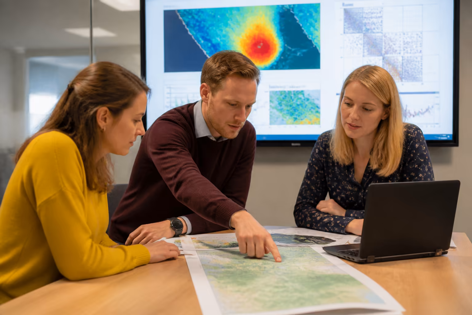
- Spatial Data Visualization and Machine Learning in Python Level 4
Spatial Data Visualization and Machine Learning in Python Level 4
Gain confidence and progress your data analysis skills with this course, enhancing your understanding of spatial data visualisation and machine learning. Learn sector best practices through flexible, self-paced study valued by UK employers.
Exclusive Deal! 94% Off, Today Only!


This course includes:

The Spatial Data Visualisation and Machine Learning in Python Level 4 course is a fully CPD-accredited, online learning experience designed for UK learners ready to advance their data skills. It delivers sector-relevant knowledge tailored to those working with geospatial data and machine learning applications.
This course builds your capability to handle complex spatial datasets, apply machine learning models, and make informed decisions grounded in data science principles. You will develop practical understanding and ethical approaches aligning with industry expectations for quality and accuracy.
Learners typically include data analysts, GIS specialists, and professionals seeking to enhance their technical expertise and leadership in spatial data projects. Study flexibly online with comprehensive support to deepen your skills and maintain professional credibility.
Key Highlights
- Focus on practical Python skills for spatial data and machine learning
- Flexible, self-paced online study with 12 months’ access
- CPD-accredited for professional development recognition
- Covers data cleaning, visualisation, modelling, and evaluation
- Includes interactive geospatial mapping and dashboard creation
- Designed for data professionals aiming to improve confidence
- Supported by UK-based learner services and expert tutors
What You’ll Learn
- Develop practical skills in Python for geospatial data analysis
- Apply machine learning techniques to spatial datasets confidently
- Strengthen data cleaning and preprocessing capabilities for spatial data
- Understand coordinate systems and spatial data formats effectively
- Explore advanced spatial data visualisation tools and methods
- Enhance decision-making with applied spatial predictive modelling
- Interpret clustering and unsupervised learning for spatial insights
- Evaluate and validate machine learning models for accuracy
- Create interactive geospatial dashboards for real-world contexts
- Improve professional confidence in spatial data project leadership
WHY STUDY WITH Learnera
Learn Era is a trusted CPD-accredited training provider dedicated to helping professionals build confidence, leadership, and compliance in the UK job sector. Our expert-led online courses are designed to fit around your lifestyle, giving you the flexibility to study anywhere, anytime.
CPD-accredited and employer-recognised qualifications trusted across the UK
- Expert tutors with essential real-world experience
- 100% online learning with UK-based learner support
- Affordable, transparent pricing with no hidden fees
- Trusted by thousands of UK learners and global professionals
ACCREDITATION AND RECOGNITION
This Spatial Data Visualization and Machine Learning in Python Level 4 is fully CPD-accredited, ensuring your qualification meets trusted professional standards for relevant fields. It is widely recognised by UK employers as a benchmark for continuing professional development and compliance training.
Earn a CPD Accredited certificate to showcase your knowledge and skills
- 100% online, self-paced study with 12 months’ access
- Includes online multiple-choice exam and optional reflective portfolio
- Order a CPD-accredited digital certificate (optional printed version available for GBP 24.99)
- Recognised by UK employers and globally trusted certification
ASSESSMENT AND CERTIFICATION
Your progress in this Spatial Data Visualization and Machine Learning in Python Level 4 is measured through an online multiple-choice assessment with a 60% pass mark and instant results. Learners can retake the exam for free, ensuring full understanding before completion.
Upon passing, you can order a PDF version of the CPD Accredited certificate, verifying your learning achievement and continued professional development aligned with industry knowledge standards. You can also order a hardcopy certificate for GBP 24.99 to boost your credibility and showcase your achievement.
This qualification includes no hidden fees and is recognised by UK employers as evidence of structured learning and professional growth.
WHO IS THIS COURSE FOR?
- Data analysts seeking to enhance spatial data skills
- GIS professionals expanding machine learning knowledge
- Environmental scientists handling geospatial datasets
- Urban planners using spatial modelling techniques
- Transport analysts applying predictive spatial analysis
- IT specialists supporting geospatial projects
- Researchers integrating spatial data with machine learning
CAREER OPPORTUNITIES AND PROGRESSION
- Geospatial Data Analyst (GBP 28,000-GBP 40,000)
- GIS Specialist (GBP 25,000-GBP 38,000)
- Environmental Data Scientist (GBP 30,000-GBP 45,000)
- Urban Planning Analyst (GBP 27,000-GBP 40,000)
- Transport Data Coordinator (GBP 26,000-GBP 39,000)
- Machine Learning Technician (GBP 29,000-GBP 43,000)
- Spatial Data Consultant (GBP 32,000-GBP 47,000)
KEY SKILLS YOU’LL GAIN
- Confident use of Python libraries for spatial data analysis
- Effective data cleaning and preprocessing for geospatial data
- Advanced spatial visualisation and interactive mapping techniques
- Practical application of supervised and unsupervised machine learning
- Skill in evaluating and validating machine learning models
- Capability to engineer features for spatial predictive tasks
- Ability to create data-driven dashboards for spatial insights
- Enhanced analytical thinking for complex spatial problems
Enrol today to develop practical skills, build confidence, and strengthen your real-world understanding with the CPD-accredited Spatial Data Visualization and Machine Learning in Python Level 4 course.
Exclusive Deal! 94% Off, Today Only!

This course includes:
Recommended Courses
 94% OFF
 Google Sheets and Google Data Studio: Mastering Data Analysis and Visualization
 94% OFF
 Foundations of Artificial Intelligence: Building Intelligent Systems


Learnera provides high-quality online courses covering a variety of topics along with certificates issued by top organisations.
- info@learnera.co.uk
- +447478023018


Payment methods possible
Copyright © 2026 Learnera. All Right Reserved.
Privacy Policy | Terms & Conditions